

Oskar Spate, one of the only geographers associated with the Punjab Boundary Commission in India, regularly wrote in his private journals about the fundamental conflict between the political demand for Pakistan and the geographical realities of its implementation. Spate was hired by the Ahmadiyya community to help prepare their claims for the Boundary Commission, and while he did prepare extensive maps and documents for them — and for the Muslim League — his unease anticipated a key strand of tension between geography and political reality that the Boundary Commission had to contend with throughout its tenure.
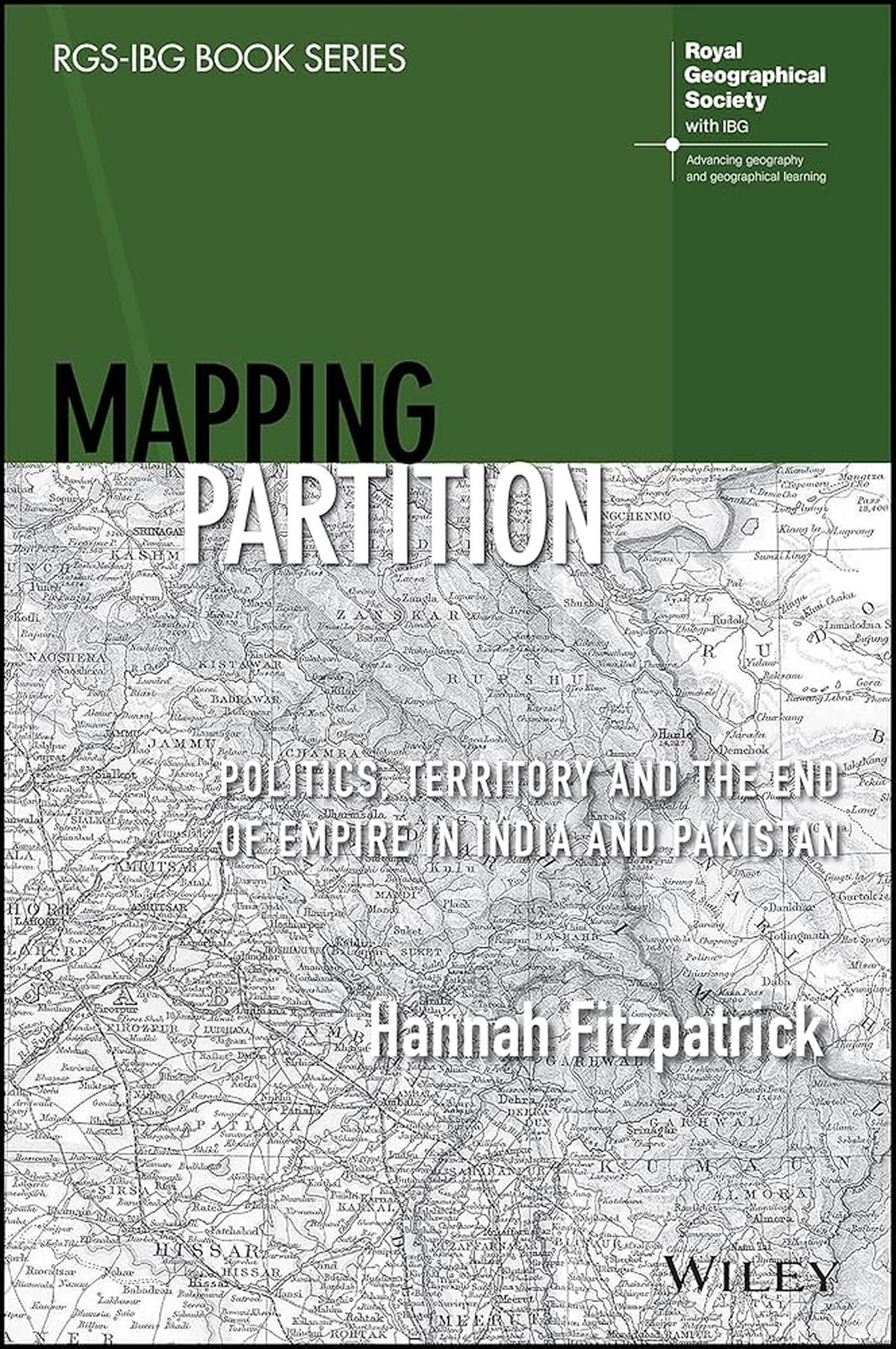
This tension is explored in greater detail in Mapping Partition: Politics, Territory and the End of Empire in India and Pakistan (Wiley) by Hannah Fitzpatrick. The book studies the role and mobilisation (or lack thereof) of geographical knowledge and expertise for the process of partitioning. It begins by tracing the evolution of a colonial archive of geographical knowledge on the Indian empire as represented in maps, census figures, gazetteers, ethnological reports, and atlases. Fitzpatrick argues that this knowledge was closely tied to colonial rule long before it was used in the partition of the subcontinent.
The book examines several different boundary proposals submitted to the Punjab Boundary Commission to highlight how the Commission’s terms of reference, which required territorially contiguous religious majorities, often required solutions that put geographical realities in direct competition with demographic and political imperatives. For instance, solutions like enclaves or protected corridors could address the need to have demographically homogenous territories, but not the requirement of territorial contiguity; while contiguous boundaries often left large sections of Muslim and non-Muslim populations stranded, leaving large-scale population transfers as the only viable option. Part of the difficulty, as Spate himself noted, was precisely that the Boundary Commission sought to apply a geographical and territorial solution for a conflict that was, at its core, political.
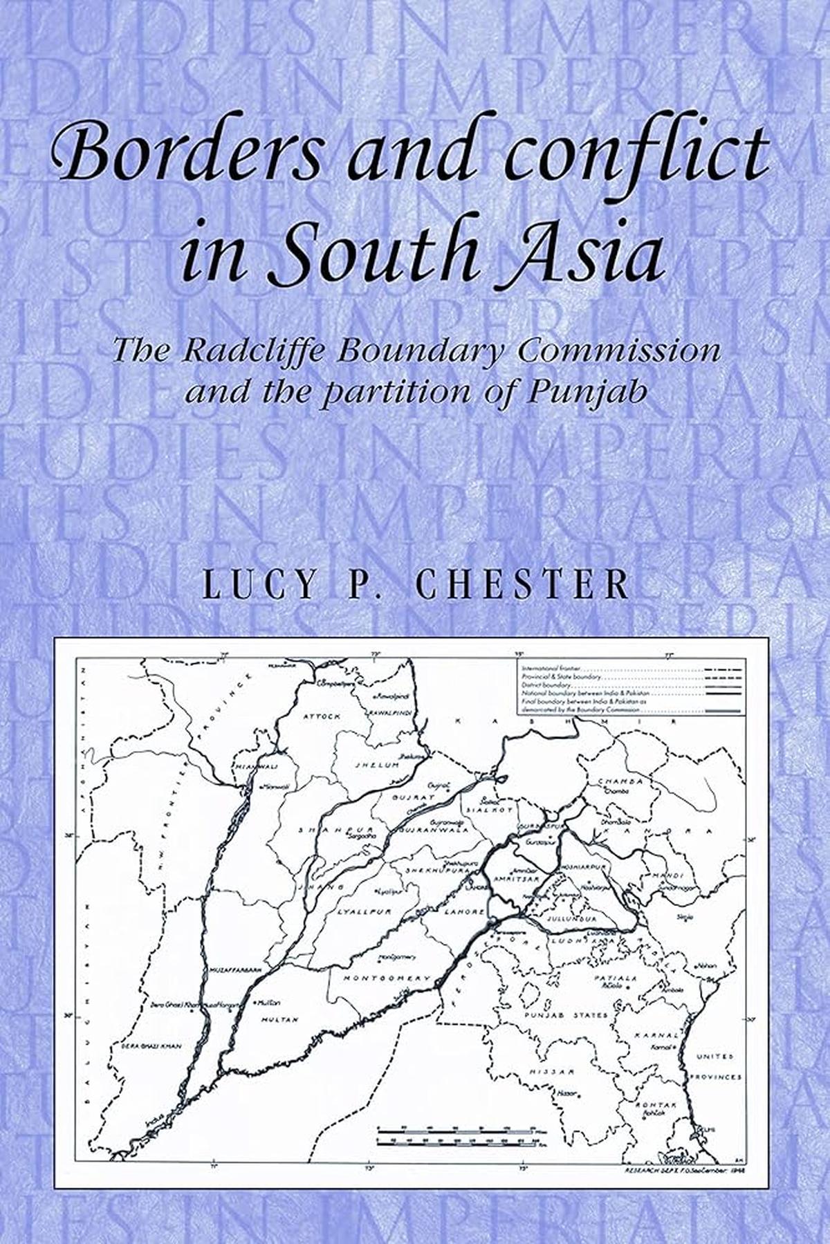
An additional problem was the lack of clarity over what constituted accurate data. In Borders and Conflict in South Asia: The Radcliffe Boundary Line and the Partition of Punjab (Manchester University Press), Lucy Chester notes that the Commission’s mandate required it to take into consideration “other factors” while delimiting a boundary, but what these other factors meant was only vaguely defined. The ambiguity led to varying interpretations of what data was to be given precedence and the weight and value to attach to each of these, making it virtually impossible to agree on one boundary line. Indeed, when the final boundary award was announced by Sir Cyril Radcliffe, the Commission’s chair, both Congress and Muslim League leaders lamented that the Commission hadn’t taken into consideration the “right” factors in fixing a boundary.
Additionally, access to official Survey of India maps had been greatly restricted since World War II, meaning each delegation seemingly prepared its own maps. These maps, which displayed the wide disagreements over questions of space and territory that the Commission had to navigate, ranged from conflicting depictions of living patterns, documents on socio-economic resources, the Railways, or Punjab’s canal network. Thus, while it was clear that geographical knowledge was crucial to the making of the boundary, what precisely constituted useful knowledge and its accuracy was much less clear.
Similar concerns over the credibility of data marked the partition process in Bengal, which was also impacted by the regional topography in unique ways. Willem van Schendel’s The Bengal Borderland: Beyond Nation and State in South Asia (Anthem South Asian Studies) studies how the Radcliffe Line came together as a “patchwork border”, as complicated by the era’s politics as it was disrupted by geography. As van Schendel shows, not only did the Bengal Boundary Commission have to work without updated maps, it also had to contend with unique topographical features like shifting rivers and deltaic tidal islands of the Sundarbans. In several sections where maps were found to be inaccurate or simply absent, the Commission had no prior reference point upon which it could base its boundary award.
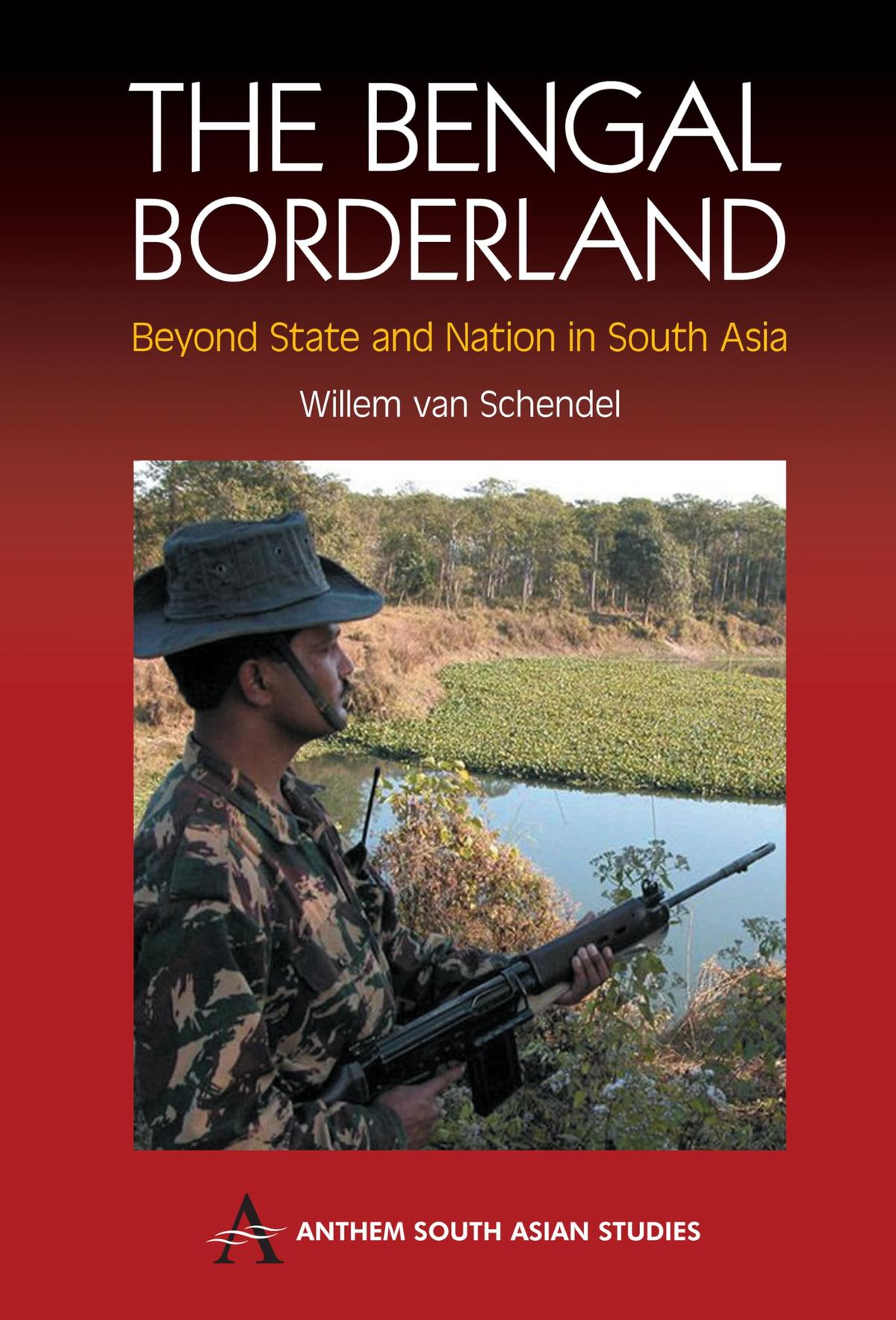
Even as India and Pakistan both accepted the Radcliffe Award as the final boundary, what it meant on the ground was unclear. Consequently, as van Schendel notes, the demarcation of a boundary was less a question for geographical or boundary-making expertise, but more a problem for local bureaucracies and governments to settle. What makes The Bengal Borderland particularly interesting is its focus on the decades after 1947, when the boundary was translated from a line on paper to one on the ground – and the long-lasting impact this territorial engineering had on the region’s inhabitants.
If Fitzpatrick and Chester show how geographical expertise was limited and, more to the point, deeply contested, The Bengal Borderland offers a glimpse into how geography acted on boundary-making efforts. Ultimately, as the books show, what was at stake wasn’t the application of cartography or geographical practice to society, but deciding which vision of space would become real.
(Charuta Ghadyalpatil is a PhD researcher in the Department of Geography at Durham University)
Published – May 07, 2026 11:30 pm IST