
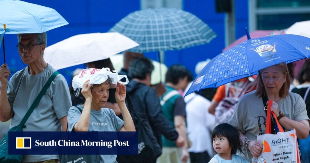
The Hong Kong Observatory has said it will consider issuing the No 3 typhoon signal on Saturday afternoon as Severe Tropical Storm Noul edges closer to the city.
The weather forecaster issued the No 1 signal at 8.40pm on Friday and said it would remain in force at least until noon the following day.
As of 9pm on Friday, Noul was centred about 710km (441 miles) east-southeast of Hong Kong, and was forecast to move west-northwest at about 26km/h (16mph) across the northeastern part of the South China Sea, in the general direction of the coast of Guangdong province, according to the latest track forecast.
Noul is expected to maintain a distance of more than 300km from Hong Kong on Friday evening and Saturday morning. However, local winds will strengthen gradually with occasional squally showers later in the day, with the forecaster saying it will consider issuing the No 3 signal in the afternoon.
It is also expected to strengthen into a typhoon by 5pm on Saturday, with maximum sustained winds near the centre estimated at 140km/h, according to the Observatory.
The MTR Corporation said on Friday evening that more than 100 inbound and outbound high-speed rail trains would be cancelled over the weekend in light of expected adverse weather.
Yeung Hon-yin, a senior scientific officer at the Observatory, said the storm was forecast to reach the northeastern part of the South China Sea near the coast of eastern Guangdong over the weekend, when it would be closest to Hong Kong.